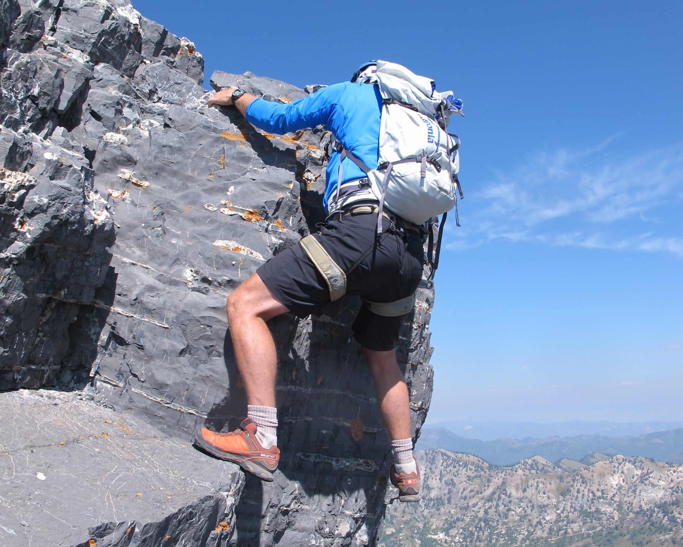
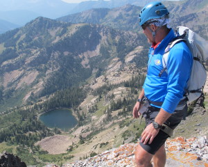
The Devil’s Castle is a Wasatch landmark, standing guard over upper Albion Basin high above the town of Alta. The craggy limestone is dark and foreboding, standing out as a singular peak along the crest of the range. With a summit just shy of 11,000 feet, the summit provides a panoramic view that takes in all of the central Wasatch Front. From the populated side that looks down on Cecret Lake in Albion Basin, to the lesser traveled south side of the peak which looms above Mineral Basin n Upper American Fork Canyon, and high above Pittsburg Lake.
We picked an early September day, with cool air that has been perfumed by recent rains, to make a half day traverse of the crest of the Castle.
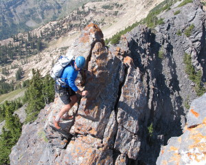
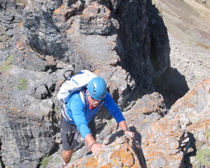
The trail starts at the packing lot for Cecret Lake, at nearly 9500 feet. Follow the trail to Cecret Lake, and enjoy the amazing scenery of this alpine gem, on a Monday we visited absent the usual overflow crowds. From here the trail steepens, and diminishes as it climbs on the south side of the lake to the saddle between the Castle and Sugarloaf Peak. Standing at just over 11,000 feet, Sugarloaf is a worthy summit, and a short 15 minute hike- to the summit. From the saddle, the trail essentially disappears, and the scrambling along the knife-edge ridge of the Castle becomes a delight. With some decent exposure along the way, the climbing is relatively easy, and straightforward. Beware of loose holds and the slick moss-like foliage that covers the craggy limestone.
Below, in the icebox of the north face, is a small snow patch that may last until winter. It most likely does not see the sun all year.
Enjoy the big views as you attain the main summit, where a mailbox holds the usual assortment of summit artifacts, including a notebook. The next summit to the east appears to be the crux, but the scrambling is readily apparent, and a nice plateau on top makes for a fine lunch spot.

From here continue east to the next saddle, and scrabble down the headwall heading back to the visible road that will lead through the Albion Campground an back to the trailhead. 3 hours total, but a world away in the high Wasatch.


